GetYourGuide
Search on GetYourGuide →
The interactive widget loads content from GetYourGuide and may set cookies.
Affiliate widget supplied by GetYourGuide. Prices and availability are confirmed on GetYourGuide.
 GO DO SOMETHING.FUN
Attraction
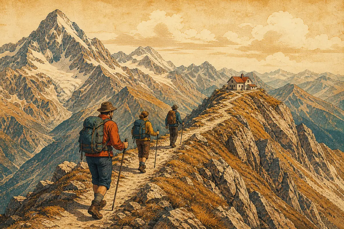
The Routeburn Track is a 32-kilometre alpine walk through Fiordland and Mount Aspiring National Parks, usually completed over two to three days with stays at DOC huts including Routeburn Falls and Lake Mackenzie. It crosses exposed alpine terrain, so weather can change quickly. Hut and campsite bookings through the Department of Conservation are required during the Great Walks season, 1 November to 30 April.
The track runs between two road ends: the Divide Shelter on the Milford Road, about 85 kilometres and roughly one and a half hours from Te Anau, and the Routeburn Shelter near Glenorchy, about 25 kilometres from Glenorchy and around 70 kilometres from Queenstown. Because the two ends are far apart by road, most hikers use a shuttle or track transport service to return to their starting point. Independent access is possible for fit hikers with a vehicle or booked transfer at each end.
Approximate location
The map image is served by us. Map providers are contacted only when you open one.
Map: OpenFreeMap · © OpenMapTiles · Data © OpenStreetMap contributors
We find the fun. Our partners handle the booking.
When you book through links on this site we may earn an affiliate commission from the booking partner, at no extra cost to you.