GetYourGuide
Search on GetYourGuide →
The interactive widget loads content from GetYourGuide and may set cookies.
Affiliate widget supplied by GetYourGuide. Prices and availability are confirmed on GetYourGuide.
 GO DO SOMETHING.FUN
Attraction
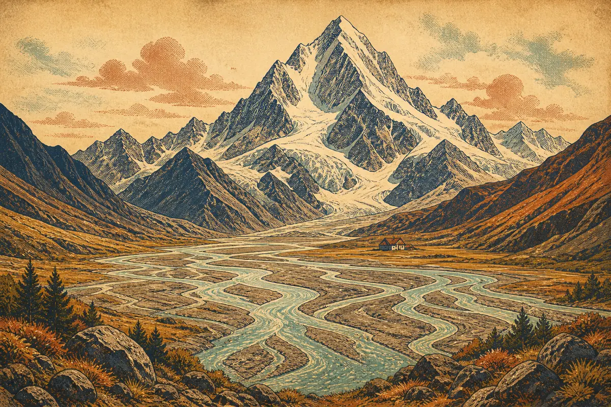
Mount Aspiring National Park covers a large stretch of alpine terrain west of Wanaka, centred on glaciated peaks, valleys and the Matukituki and Makarora rivers. Access is largely on foot, via day walks and multi-day tramping routes maintained by the Department of Conservation, with huts along the main routes. There is no vehicle road into the park itself, so visits start from marked trailheads outside the boundary.
The main Wanaka-side access point is the West Matukituki Valley, reached by driving the Wanaka-Mount Aspiring Road to the Raspberry Creek car park, about 54 kilometres and roughly an hour and a half from Wanaka, with the final stretch on gravel. A second access route runs north along State Highway 6 toward Makarora, on the way to Haast. There is no public transport to the trailheads; visitors typically self-drive or join a guided walking tour, and should check current road and track conditions with the DOC visitor centre in Wanaka before setting out.
Approximate location
The map image is served by us. Map providers are contacted only when you open one.
Map: OpenFreeMap · © OpenMapTiles · Data © OpenStreetMap contributors
We find the fun. Our partners handle the booking.
When you book through links on this site we may earn an affiliate commission from the booking partner, at no extra cost to you.