GetYourGuide
Search on GetYourGuide →
The interactive widget loads content from GetYourGuide and may set cookies.
Affiliate widget supplied by GetYourGuide. Prices and availability are confirmed on GetYourGuide.
 GO DO SOMETHING.FUN
Attraction
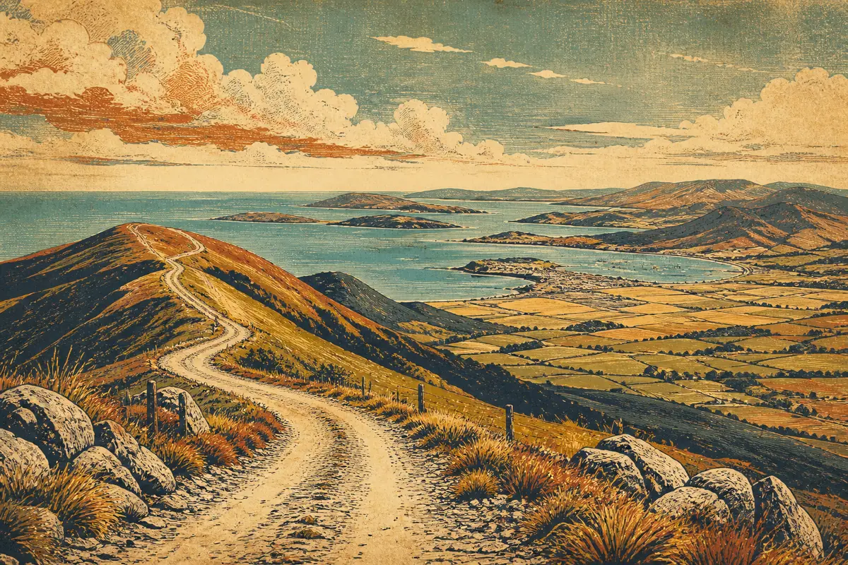
Port Hills is a range of hills forming the skyline south of central Christchurch, separating the city from Lyttelton Harbour. The area offers walking and mountain biking tracks along Summit Road, from short walks to full-day routes, plus lookout points over the Canterbury Plains and harbour. Access is free and open year-round.
Port Hills rise directly south of central Christchurch, roughly a 15-20 minute drive to the main trailheads on Dyers Pass Road or Summit Road. Free parking is available at trailhead car parks such as the Sign of the Kiwi and Sign of the Takahe. There is no direct public bus service to most trailheads; some routes stop near the base of the hills, and cyclists and walkers often ride or drive up. The Christchurch Gondola on Bridle Path Road provides an alternative way to reach the summit ridge without walking.
Approximate location
The map image is served by us. Map providers are contacted only when you open one.
Map: OpenFreeMap · © OpenMapTiles · Data © OpenStreetMap contributors
We find the fun. Our partners handle the booking.
When you book through links on this site we may earn an affiliate commission from the booking partner, at no extra cost to you.